3,200 Country Map Illustrations
Browse & download free and premium 3,200 Country Map Illustrations for web or mobile (iOS and Android) design, marketing, or developer projects. These royalty-free high-quality Country Map Vector Illustrations are available in SVG, PNG, EPS, AI, or JPG and are available as individual or illustration packs. You can also customise them to match your brand and color palette! Don’t forget to check out our exclusive, popular, latest, and featured illustrations too! Don’t forget to check out our too.
View as
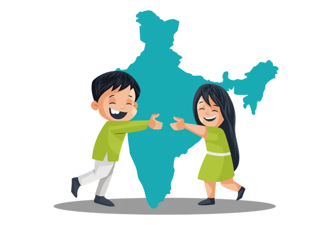
Country Illustrations
National Illustrations
Holiday Illustrations
Man Illustrations
Character Illustrations
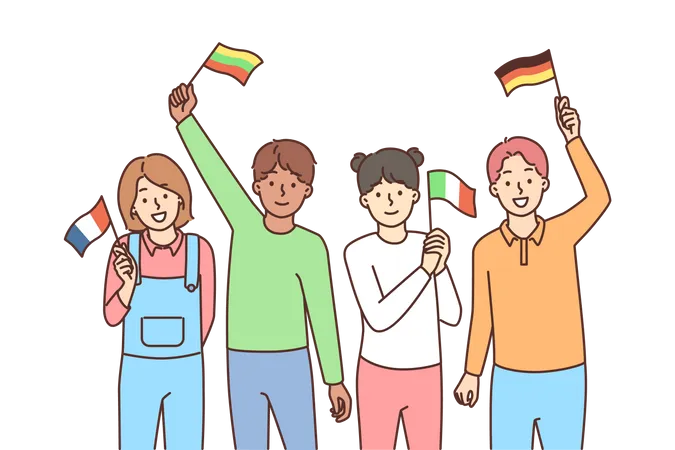
Flag Illustrations
Celebration Illustrations
People Illustrations
Travel Illustrations
Person Illustrations
Freedom Illustrations
Male Illustrations
Happy Illustrations
Nation Illustrations
Woman Illustrations
Summer Illustrations
Independence Illustrations
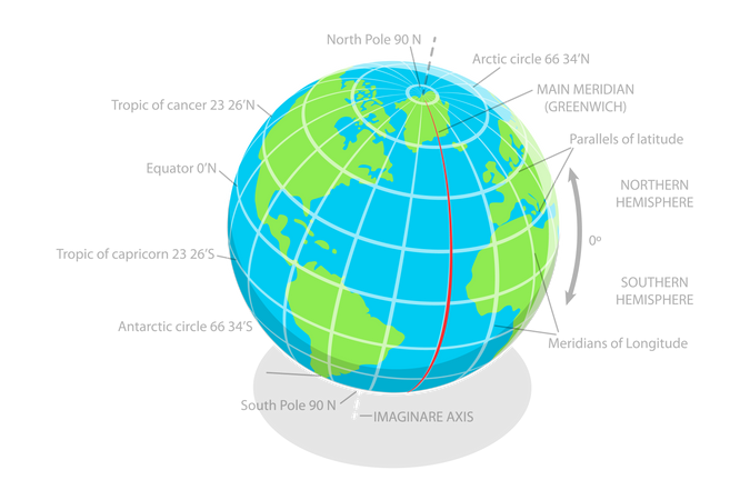
World Illustrations
Nature Illustrations
Day Illustrations
Vacation Illustrations
Independence Day Illustrations
Tourism Illustrations
Girl Illustrations
Trip Illustrations
Female Illustrations
Culture Illustrations
Boy Illustrations
International Illustrations
Agriculture Illustrations