1,311 Land Mapping Illustrations

Browse & download free and premium 1,311 Land Mapping Illustrations for web or mobile (iOS and Android) design, marketing, or developer projects. These royalty-free high-quality Land Mapping Vector Illustrations are available in SVG, PNG, EPS, AI, or JPG and are available as individual or illustration packs. You can also customise them to match your brand and color palette! Don’t forget to check out our exclusive, popular, latest, and featured illustrations too! Don’t forget to check out our too.

view more
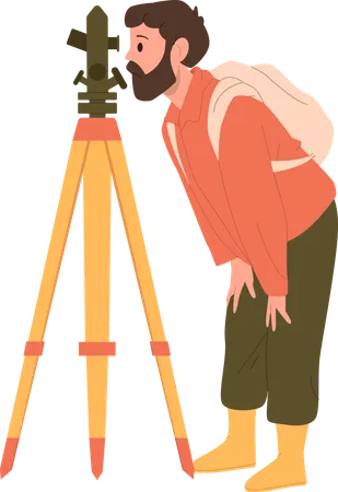
Man Geologist Cartoon Character Taking Measures Of Earth Surface With Theodolite Using Technical Equipment Item Providing Examination Procedures Vector Illustration Isolated On White Background Illustration

Man geologist character taking measures with theodolite Illustration

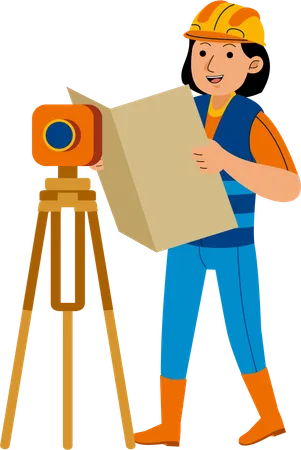
Woman Land Surveyor Profession Illustration

Woman Land Surveyor Illustration

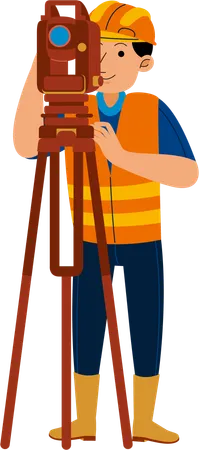
Man Land Surveyor Profession Illustration

Man Land Surveyor Illustration

Man Researcher Cartoon Character Engaged Geodetic Measurements And Discoveries Using Tacheometer Special Technical Equipment Vector Illustration Isolated On White Background Geodetic Expedition Illustration

Man researcher character engaged geodetic measurements using tachometer special equipment Illustration

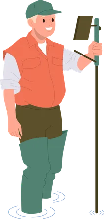
Surveyor taking survey of plot  Illustration

Surveyor taking survey of plot Illustration

Surveyor Concept Land Surveying Technology Geodesy Science Cadastral Engineer Making Geodetic Measurements Flat Vector Illustration Illustration

Guiding Real Estate Project Illustration

Surveyor Concept Land Surveying Technology Geodesy Science Cadastral Engineer Making Geodetic Measurements Flat Vector Illustration Illustration

Construction Surveyor Illustration

Geography Web Banner Or Landing Page Global Science Studying The Lands Features Inhabitants Of The Earth Abstract Vector Illustration Of Geography Learning Mapping And Environment Research Illustration

Geography Adventure Illustration

Geography Typographic Header Students Learning The Lands And Inhabitants Of The Earth Mapping And Environment Research Geology And Cartography Studying Flat Vector Illustration Illustration

Male Student learning lands and inhabitants Illustration

Isometric Vector Concept Of Geography Science The Teacher Is Standing Next To The Map Pointing Out To One Of Its Objects Illustration

Teacher teaching geography lesson Illustration

Geography class  Illustration

Geography class Illustration

3 D Isometric Flat Vector Conceptual Illustration Of Geodesy Geodetic Developments Illustration

Geodetic Developments Illustration

You Will Find Many Surprising Assets That You Will Obtain In This File Dont Hesitate To Buy It Have It Soon This File Contains Features PNG Files JPG Files RGB Colors Easily Scalable Resizable Easy To Change Colors And Fully Editable Files Includes SVG Include All Applications AI Adobe Illustrator EPS Adobe Illustrator 10 Version This Illustration Can Be Applied To Various Objects Of Your Work With Many Choices It Is Flexible For Any Project Please Let Me Know If You Need Help I Will Be Happy To Help This File Contains Two Parts Please Visit The Next Section For Complete Options Have Fun And Find Your Best Dreams In Every Project Immediately Take It And Buy It Greetings Illustration

People studying Geography science Illustration

Space land rover  Illustration

Space land rover Illustration

The Lady Meeting With House Broker For Finding A New Home With Personal Requirements For Buying Illustration

Finding land for estate Illustration

Dried Hot And Empty Planet Globe Change Climate Saving Earth And Environmental Care Woodcutter With An Ax Environment Contamination Problem Of Deforestation And Devastation Of Territories Illustration

Natural disaster due to land deforestation Illustration

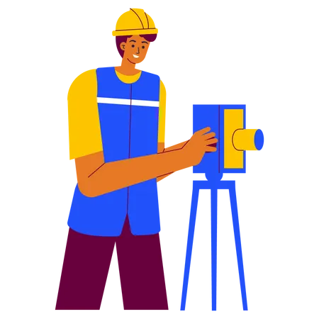
Land Surveyor  Illustration

Land Surveyor Illustration

Land and Nature  Illustration

Land and Nature Illustration

Land surveyor  Illustration

Land surveyor Illustration

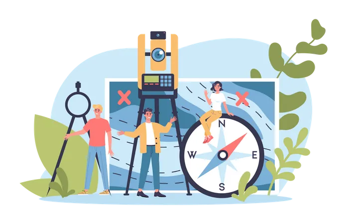
Geodesy Science Concept Land Surveying Technology Engineering And Topography Equipment People With Compass Andmap Vector Illustration In Cartoon Style Illustration

Land surveying technology Illustration