


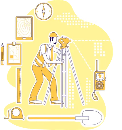
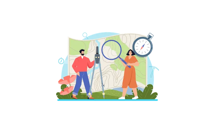
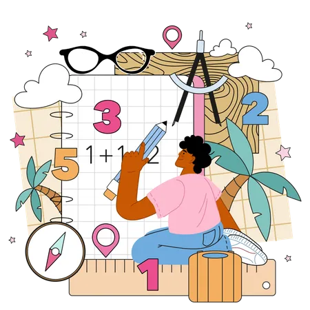
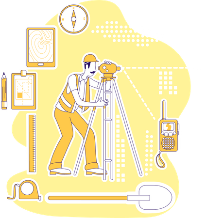
16 Geodesist Illustrations
Browse & download free and premium 16 Geodesist Illustrations for web or mobile (iOS and Android) design, marketing, or developer projects. These royalty-free high-quality Geodesist Vector Illustrations are available in SVG, PNG, EPS, AI, or JPG and are available as individual or illustration packs. You can also customise them to match your brand and color palette! Don’t forget to check out our exclusive, popular, latest, and featured illustrations too! Don’t forget to check out our too.
View as
Surveyor Illustrations
Survey Illustrations
Geodetic Illustrations
Surveying Illustrations
Topography Illustrations
Building Illustrations
Geodesy Illustrations
Geodesic Illustrations
Engineering Illustrations
Engineer Illustrations
Equipment Illustrations
Tripod Illustrations
Level Illustrations
Map Illustrations
Compass Illustrations
Technology Illustrations
North Illustrations
Land Illustrations
Work Illustrations
Instrument Illustrations
South Illustrations
Device Illustrations
Science Illustrations
Study Illustrations
World Illustrations
Region Illustrations
Process Illustrations
Business Illustrations
Nation Illustrations
Architecture Illustrations


People Also Search:
- akimbo illustrations free
- illustration for angry punjabi woman
- illustration for bad habits banner
- business growth challenge illustrations
- illustration for business investment
- climate friendly images
- construction work warning illustrations free
- cryptocurrency transaction illustrations
- excavation tools illustrations free
- girl shopping vegetables images