


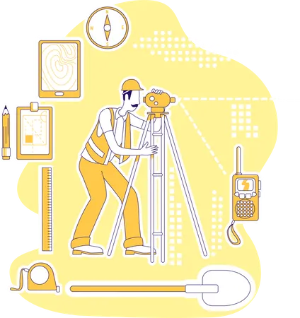
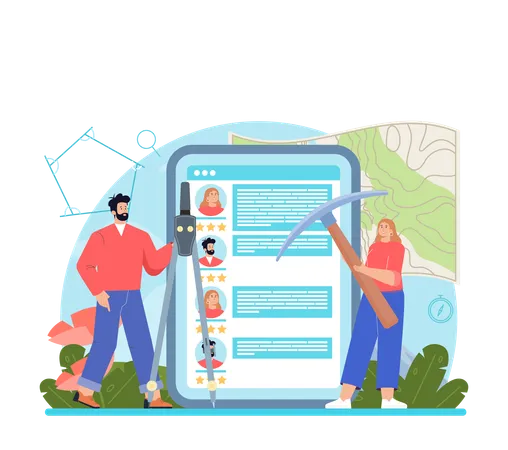
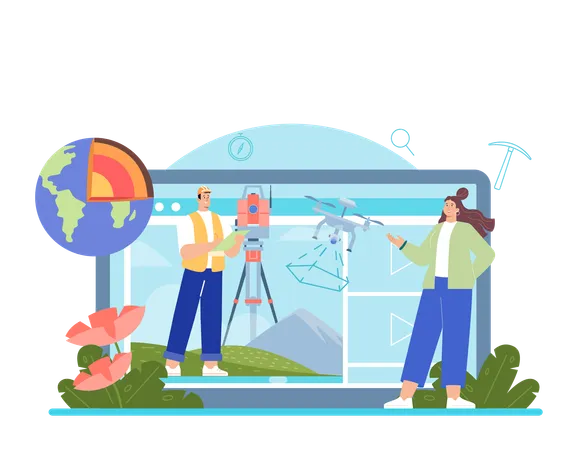
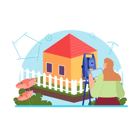
14 Geodetic Illustrations
Browse & download free and premium 14 Geodetic Illustrations for web or mobile (iOS and Android) design, marketing, or developer projects. These royalty-free high-quality Geodetic Vector Illustrations are available in SVG, PNG, EPS, AI, or JPG and are available as individual or illustration packs. You can also customise them to match your brand and color palette! Don’t forget to check out our exclusive, popular, latest, and featured illustrations too! Don’t forget to check out our too.
View as
Surveyor Illustrations
Topography Illustrations
Surveying Illustrations
Measurement Illustrations
Survey Illustrations
Engineering Illustrations
Instrument Illustrations
Helmet Illustrations
Building Illustrations
Geodetic Survey Illustrations
Geodesy Illustrations
Geodesist Illustrations
Land Surveyor Illustrations
Tachymeter Illustrations
Geology Illustrations
Land Illustrations
Worker Illustrations
Engineer Illustrations
Construction Illustrations
People Illustrations
Ground Illustrations
Examination Illustrations
Character Illustrations
Topographical Measurement Illustrations
Surveyors Tools Illustrations
Surveying Technique Illustrations
Surveying Site Illustrations
Measuretape Illustrations
Land Mapping Illustrations
Geospatial Survey Illustrations


People Also Search:
- listening illustration svg
- illustration sport
- farmer illustrations
- grandmother illustrations
- ritual images
- unwrapping illustration free download
- illustration electric-tower
- source-code illustration
- blood bottle illustrations free
- couple meeting illustrations
- mail confirmation illustration free download
- illustrations of rasgulla
- stop plastic pollution illustration free download
- odeum illustrations
- advertising on social media illustration free download
- free shop burglary crime scene illustrations
- kid birthday illustration
- illustration for parenting problem
- illustration for teacher taking precautions
- illustrations of nawab
- laughing teen girl student illustration svg
- love diary book illustrations
- free dad and girl talking illustrations
- 24 hours fast food delivery illustration free download
- illustrations for man looking telescope
- cruise ship captain images
- illustrations of beautiful woman with massage brush
- empty airport entrance illustrations
- kids in supermarket illustrations
- dedicated team illustration svg